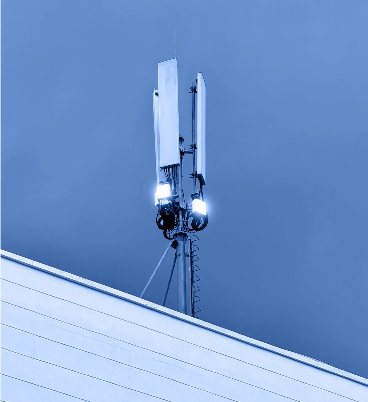
Continuous lower-airspace monitoring
Distributed sensors provide a scalable solution to create a 24/7 wide area coverage of lower-airspace activity.
Xneural turns distributed drone detections around critical sites into live tracks, historical evidence, and alert-ready data.
Authorized, non-authorized and dark drones are increasingly part of the operating environment around valuable sites and critical infrastructure.
Responders rely on manual observation, isolated sensors, or incident-driven tools that do not create a continuous operational picture.
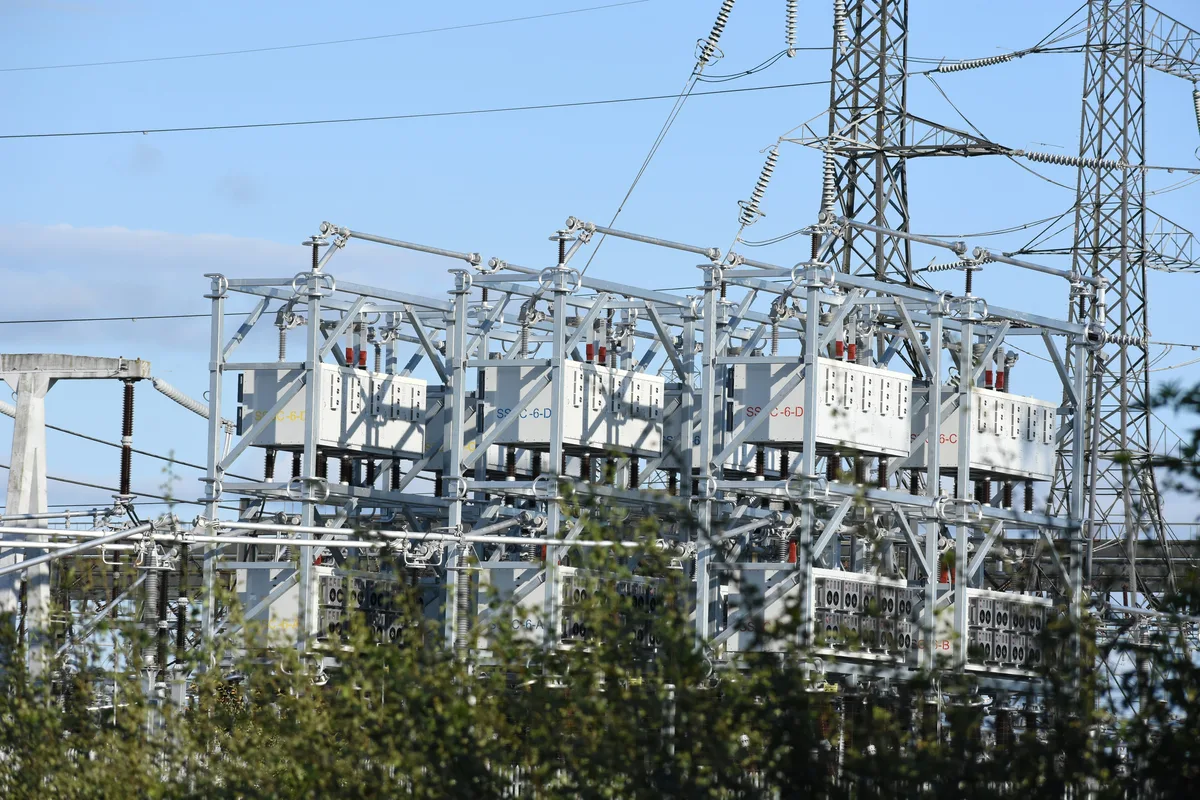
Owners of critical infrastructure are pushed by regulators to integrate drone response into their security processes.
Distributed sensors provide a scalable solution to create a 24/7 wide area coverage of lower-airspace activity.
Each deployment aggregates nearby sensor nodes to clutter-free, reliable drone tracks, reducing required network bandwidth.
Sovereign cloud engine orchestrates sensor nodes and fuses different drone tracks into a single data stream for live views, incident response, and analytics.
Alerts flow into security operations and customer command & control systems through a dedicated API.
A clear operational picture of lower airspace, delivered without the cost and complexity of owning the detection infrastructure.
Customer-defined zones trigger alerts when an object enters monitored airspace.
Overlapping detections are fused into a single movement trail with useful context.
AI-based drone classification and threat assessment detects cooperative and non-cooperative drones.
Subscription-based model instead of high upfront investment.


Talk to Xneural about monitored sites, pilot deployments, and integration into your operational workflows.
